Global S&T Development Trend Analysis Platform of Resources and Environment
| Keeping track of spacecraft as Earth’s water alters its spin | |
| admin | |
| 2021-03-22 | |
| 发布年 | 2021 |
| 语种 | 英语 |
| 国家 | 欧洲 |
| 领域 | 地球科学 |
| 正文(英文) |
The forces at play, changing the day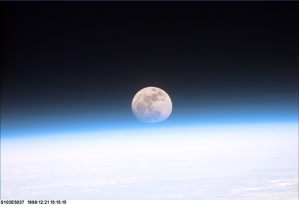
External gravitational forces, predominantly from the Sun and Moon, are constantly and predictably acting on our planet. While the Sun's enormous gravity keeps Earth in orbit, the gentle tug of the Moon has, over billions of years, quite dramatically slowed its spin, increasing the length of a day on Earth. When the Earth first formed, a day was somewhere between six and eight hours long and a year would have consisted of more than 1000 sunrises and sunsets. Closer to home, there are forces at play that have much more rapid and unpredictable effects. Earthquakes, atmospheric winds, ocean currents, and remarkably even human activity itself, all act often and unpredictably to redistribute mass around the planet, altering the speed of Earth’s spin and the orientation of its spin axis. Conservation of momentumThe ‘conservation of angular momentum’ is a law of physics that explains why a figure skater spinning with her arms out, can suddenly speed herself up by pulling in her arms towards her body. Earth’s spin too is affected by the distribution of weight around the planet. Earthquakes, remarkably, speed up the spin of our planet in an instant, by rearranging matter through the crust and upper mantle, increasing in a small but not insignificant way the length of the day. 
In 2011, a magnitude 9.0 earthquake struck Japan which tragically took thousands of lives and created untold damage. Lasting six minutes, it also shortened the length of the day by 1.8 microseconds (one microsecond = one millionth of a second) and shifted the position of Earth’s ‘figure axis’ – an imaginary line around which the world's mass is balanced – by about 17 cm. (The figure axis is Earth's axis of mass balance, while the spin axis wobbles around it.) Much larger effects are also underway caused by atmospheric winds and ocean currents, as well as the melting of glaciers and the icecaps. As ice melts or breaks off into the ocean, sea levels rise and Earth’s mass is redistributed so it is closer to this central axis, shortening the length of the day. Such changes are nothing to worry about, unnoticeable to our day-to-day lives. But when it comes to flying spacecraft across deep space, or keeping in sync with satellites in orbit, these tiny changes can mean the difference between finding and losing your mission. Holding on to ESA missionsTo fly ESA missions, the Agency is dependent on what are called Earth Orientation Parameters, EOP, which describe the irregularities in the rotation of the planet. If you dont know them, you have a real problem. “Our ground stations are in communication with interplanetary spacecraft millions of kilometres away. They need to be pointed with extreme accuracy to target these relatively tiny objects,” explains Werner Enderle, Head of ESA’s Navigation Support Office based at the Agency’s ESOC Operations Centre in Darmstadt, Germany. 
“One degree on Earth equates to thousands of kilometres in space, so if you don’t have accurate values for Earth’s orientation, you can be off by a long way.” Getting these parameters requires a huge amount of work analysing the cumulative effects of the weather, climate change and geological activity. Because these systems are so complex, we can currently calculate the changes in Earth’s orientation on relatively short timescales, weeks and months ahead. ESA determines Earth’s orientationCurrently, these vital parameters are provided by the United States Naval Observatory (UNSO), based on contributions from Institutions around the world including ESA. However, ESA is working on determining its own EOP values, ensuring Europe’s independent access to space and removing dependency on an external provider. These orientation values, computed by a team at the Navigation Support Office, will be made freely available around Autumn this year. The tool estimates and predicts Earth’s orientation and rotation up to 90 days in advance using space-based measurements from Global Navigation Satellite Systems (GNSS) and Satellite Laser Ranging among others, an area in which the Office has a great deal of expertise. 
“Our algorithm uses atmospheric and weather conditions, seismic activity, the rate at which sea levels are rising and Earth’s ice is melting and a host of other variables, all of which interact in complex and hard-to-predict ways,” explains Erik Shoenemann, Navigation Engineer at ESOC who leads the project. “It’s easy to take these values for granted, but all spaceflight activity relies on them and a huge amount of work goes into getting them. We are really happy to now have our own source of this data, securing our ability to conduct complex missions in different orbits and to receive the incredible data they send home”. So far, early tests show the new ESA algorithm significantly outperforms those currently in use, marking an important step in ensuring Europe’s independent access to space. |
| URL | 查看原文 |
| 来源平台 | European Space Agency |
| 文献类型 | 新闻 |
| 条目标识符 | http://119.78.100.173/C666/handle/2XK7JSWQ/319430 |
| 专题 | 地球科学 |
| 推荐引用方式 GB/T 7714 | admin. Keeping track of spacecraft as Earth’s water alters its spin. 2021. |
| 条目包含的文件 | 条目无相关文件。 | |||||
| 个性服务 |
| 推荐该条目 |
| 保存到收藏夹 |
| 查看访问统计 |
| 导出为Endnote文件 |
| 谷歌学术 |
| 谷歌学术中相似的文章 |
| [admin]的文章 |
| 百度学术 |
| 百度学术中相似的文章 |
| [admin]的文章 |
| 必应学术 |
| 必应学术中相似的文章 |
| [admin]的文章 |
| 相关权益政策 |
| 暂无数据 |
| 收藏/分享 |
除非特别说明,本系统中所有内容都受版权保护,并保留所有权利。


修改评论