Global S&T Development Trend Analysis Platform of Resources and Environment
| Earth from Space: Strait of Gibraltar | |
| admin | |
| 2021-03-12 | |
| 发布年 | 2021 |
| 语种 | 英语 |
| 国家 | 欧洲 |
| 领域 | 地球科学 |
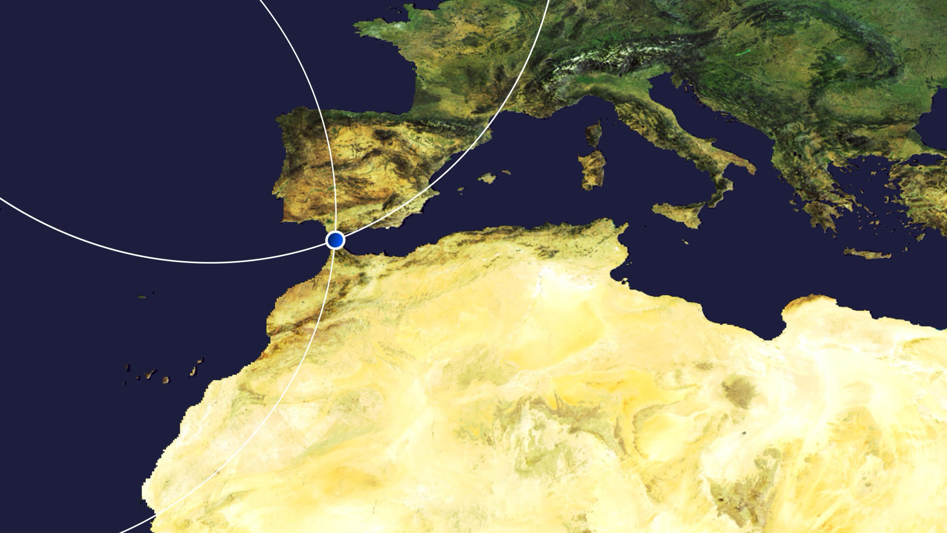
| 正文(英文) | The Strait of Gibraltar is featured in this false-colour image captured by the Copernicus Sentinel-2 mission. Click on the image to explore it in its full 10 m resolution and learn about the features in this stunning landscape. 
The Strait of Gibraltar connects the Mediterranean Sea with the Atlantic Ocean and separates southernmost Spain from northernmost Africa. The channel is 58 km long and narrows to 13 km in width between Point Marroquí (Spain) and Point Cires (Morocco). Ferries and vessels can be seen travelling across the strait and crossing between the two continents. This false-colour image, captured on 28 October 2020, was processed in a way that included the near-infrared channel. This type of band combination from Copernicus Sentinel-2 is most commonly used to assess plant density and health, as plants reflect near-infrared and green light, while absorbing red. Since they reflect more near-infrared than green, dense, plant-covered land appears in bright red. Water bodies, such as the Mediterranean Sea and the Atlantic Ocean, appear in dark blue or black while turbid waters, such as those visible along the Spanish coast in the top-left of the image, appear in cyan or light blue. This is most likely due to sediment-laden waters flowing from rivers into the sea. Inland water bodies, such as the Barbate Reservoir visible at the top of the image, can be spotted in various shades of azure owing to their turbidity. Several prominent cities can be seen in the image in grey. These include Tangier, the port and principal city of northern Morocco which lies just 27 km from the southern tip of Spain. Tétouan lies along the Martil Valley and can be seen in the bottom-right of the image. Its medina is a designated UNESCO World Heritage site since 1997. At the southern end of the Iberian Peninsula, the Bay of Gibraltar can be seen. The shoreline is densely populated and the shore is divided, from west to east, between the Spanish municipalities of Algeciras, Los Barrios, San Roque, La Línea de la Concepción and the British Overseas Territory of Gibraltar. Copernicus Sentinel-2 is a two-satellite mission. Each satellite carries a high-resolution camera that images Earth’s surface in 13 spectral bands. The mission is mostly used to track changes in the way land is being used and to monitor the health of vegetation. This image is also featured on the Earth from Space video programme. 
Earth from Space: Strait of Gibraltar
Access the video |
| URL | 查看原文 |
| 来源平台 | European Space Agency |
| 文献类型 | 新闻 |
| 条目标识符 | http://119.78.100.173/C666/handle/2XK7JSWQ/318336 |
| 专题 | 地球科学 |
| 推荐引用方式 GB/T 7714 | admin. Earth from Space: Strait of Gibraltar. 2021. |
| 条目包含的文件 | 条目无相关文件。 | |||||
| 个性服务 |
| 推荐该条目 |
| 保存到收藏夹 |
| 查看访问统计 |
| 导出为Endnote文件 |
| 谷歌学术 |
| 谷歌学术中相似的文章 |
| [admin]的文章 |
| 百度学术 |
| 百度学术中相似的文章 |
| [admin]的文章 |
| 必应学术 |
| 必应学术中相似的文章 |
| [admin]的文章 |
| 相关权益政策 |
| 暂无数据 |
| 收藏/分享 |
除非特别说明,本系统中所有内容都受版权保护,并保留所有权利。


修改评论