Global S&T Development Trend Analysis Platform of Resources and Environment
| Watch live: Copernicus Sentinel-6 Michael Freilich launch | |
| admin | |
| 2020-11-18 | |
| 发布年 | 2020 |
| 语种 | 英语 |
| 国家 | 欧洲 |
| 领域 | 地球科学 |
| 正文(英文) | Watch the launch of the Copernicus Sentinel-6 Michael Freilich ocean-monitoring satellite on ESA Web TV on Saturday 21 November from 17:45 CET (08:45 PST). A joint European-US satellite built to monitor sea-level change, the satellite will liftoff atop a Space X Falcon 9 rocket on 21 November at 17:17 GMT (18:17 CET, 09:17 PST) from the Vandenberg Air Force Base in California, US. The weather will be monitored constantly until the precise moment of liftoff to determine whether or not to authorise the launch. Join as experts from all partners in the mission, as well as data users and beneficiaries, discuss details regarding the mission. Follow online Tune in to ESA Web TV or ESA Facebook from 17:45 CET (08:45 PST) onwards to watch the launch live. Join the conversation online with the hashtags #Sentinel6 and #SpaceCare For live updates, follow: @esa_eo @esa @esaoperations Click here to view the interactive media kit to learn more about the launch. Key events after launch (times approximate): 2 minutes and 16 seconds after launch: main engine cut off, second stage separation and then second-engine Start 1 will occur in quick succession. Reusable Falcon 9 first stage then begins its automated boost-back to the launch site for a powered landing. 3 minutes: After protecting the satellite as the rocket travelled through the atmosphere, the launch vehicle's nose cone will separate and jettisoned. 8 minutes: Stage-II engine cut-off. 53 minutes: Stage-II first restart for a 15 second burn, followed by Stage-II engine cut-off. 58 minutes: launch vehicle and satellite separation. 1 hour and 7 minutes: satellite begins solar panel deployment. 1 hour and 33 minutes: planned first contact for satellite telemetry downlink by ground stations in Alaska. 
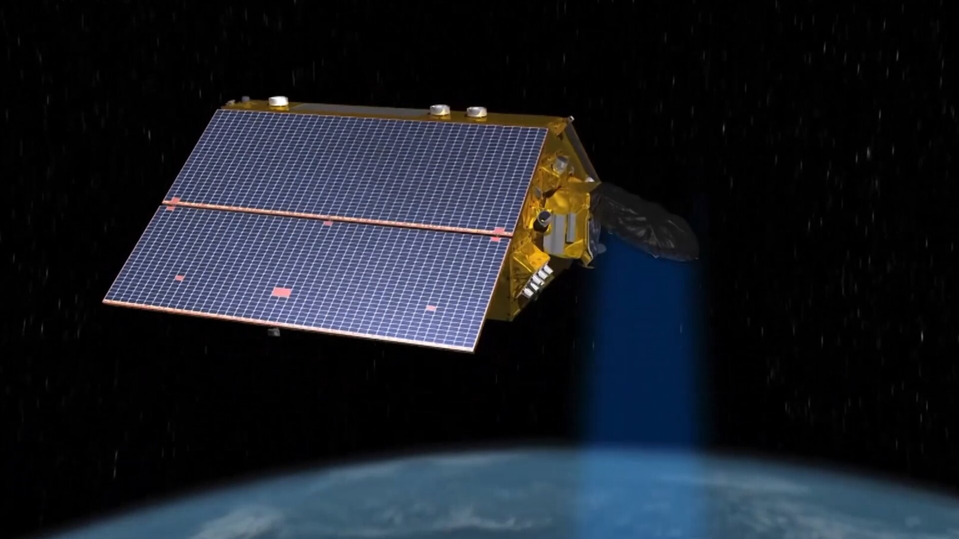
Copernicus Sentinel-6 ready for launch
Access the video Charting sea level The Copernicus Sentinel-6 Michael Freilich satellite is the first of two identical satellites to provide critical measurements of sea-level change. Once safely in orbit, the satellite will continue the long-term record of reference sea-surface height measurements and extend the records of sea level into its fourth decade. The satellite will map 95% of Earth’s ice-free ocean every 10 days and provide crucial information for operational oceanography and climate studies. Since sea-level rise is a key indicator of climate change, accurately monitoring the changing height of the sea surface over decades is essential for climate science, for policy-making and for protecting those in low-lying regions at risk. The satellite was renamed in honour of Michael H. Freilich, the former director of NASA’s Earth Science Division. The mission is a collaboration between ESA, the European Commission, EUMETSAT, NASA and NOAA, with support from the French space agency CNES. Read more about the Copernicus Sentinel-6 mission. |
| URL | 查看原文 |
| 来源平台 | European Space Agency |
| 文献类型 | 新闻 |
| 条目标识符 | http://119.78.100.173/C666/handle/2XK7JSWQ/302870 |
| 专题 | 地球科学 |
| 推荐引用方式 GB/T 7714 | admin. Watch live: Copernicus Sentinel-6 Michael Freilich launch. 2020. |
| 条目包含的文件 | 条目无相关文件。 | |||||
| 个性服务 |
| 推荐该条目 |
| 保存到收藏夹 |
| 查看访问统计 |
| 导出为Endnote文件 |
| 谷歌学术 |
| 谷歌学术中相似的文章 |
| [admin]的文章 |
| 百度学术 |
| 百度学术中相似的文章 |
| [admin]的文章 |
| 必应学术 |
| 必应学术中相似的文章 |
| [admin]的文章 |
| 相关权益政策 |
| 暂无数据 |
| 收藏/分享 |
除非特别说明,本系统中所有内容都受版权保护,并保留所有权利。


修改评论